LZ2KDR — Town Amateur Radio Club in Dryanovo
The town amateur radio club in Dryanovo conducts its operations under the callsign LZ2KDR. The club serves as an important local educational hub for radio engineering, Morse telegraphy, and HF operating skills.
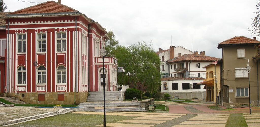
Panoramic view of Dryanovo, home to amateur radio club LZ2KDR
Geographical Location and Features of Dryanovo
Dryanovo is situated on the boundary between Veliko Tarnovo and Gabrovo provinces, nestled among the picturesque rolling hills of the Central Fore-Balkan region.
The municipality encompasses the extension of the Mikrene Heights — the rocky limestone Strazhata plateau, carved by the scenic gorges of the Yantra and Dryanovska rivers. Elevations range from 180 to 640 meters above sea level, with the highest peak located at Balabana (over 620 meters).
The town sits along a major road and railway artery connecting Northern and Southern Bulgaria (Ruse – Veliko Tarnovo – Gabrovo – Stara Zagora). The geographical coordinates of Dryanovo are 42°58′ N latitude and 25°28′ E longitude.
Dryanovo is located 21 km from Gabrovo, 24 km from Veliko Tarnovo, 16 km from the revival craft center Tryavna, 34 km from Sevlievo, and 31 km from Gorna Oryahovitsa.